Bohusleden
Sweden
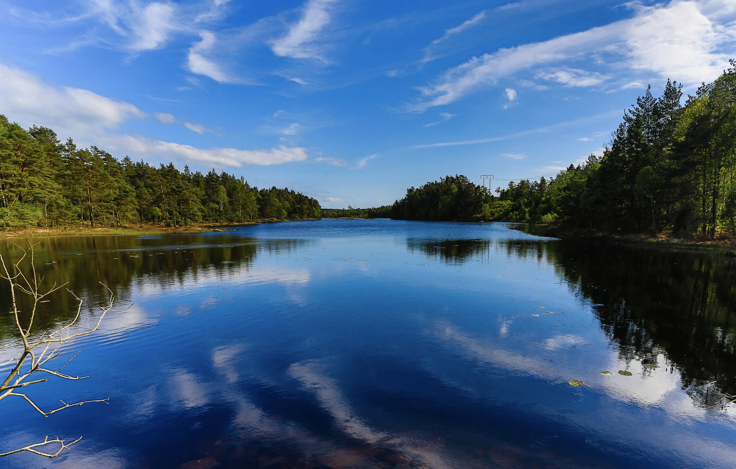
27 stages, which offer a total of about 350 km of scenic and varied hiking through Bohuslän's wild and beautiful nature. The trail stretches from Lindome in the south, at the border to Halland, to Strömstad in the north.
Taking the 512 bus from Liseberg station directly to the start/end of the trail, this is a good 10km hike through forests which won’t stress too many hikers out.
Smooth gravel roads and a well-organized trail, a large urban nature reserve and Gothenburg's most central recreation area welcome the hiker on the second section of the Bohusleden trail.
A much easier trail than the previous two sections with limited changes in altitude and good pathways. The trail opens out into more settled areas, going through fields, and along a few roads. Past Diseröd a chance to climb a small mountain can be taken.
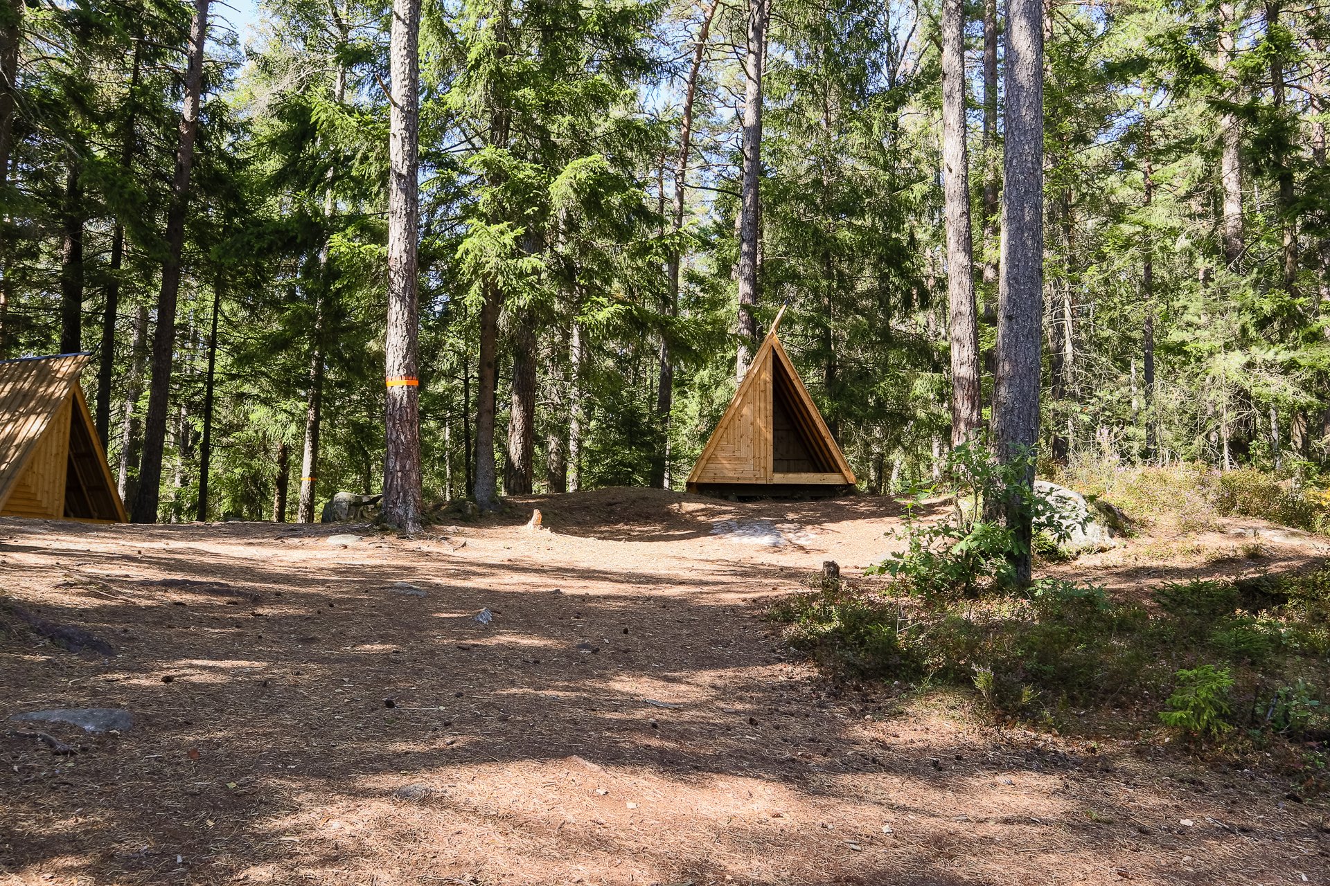
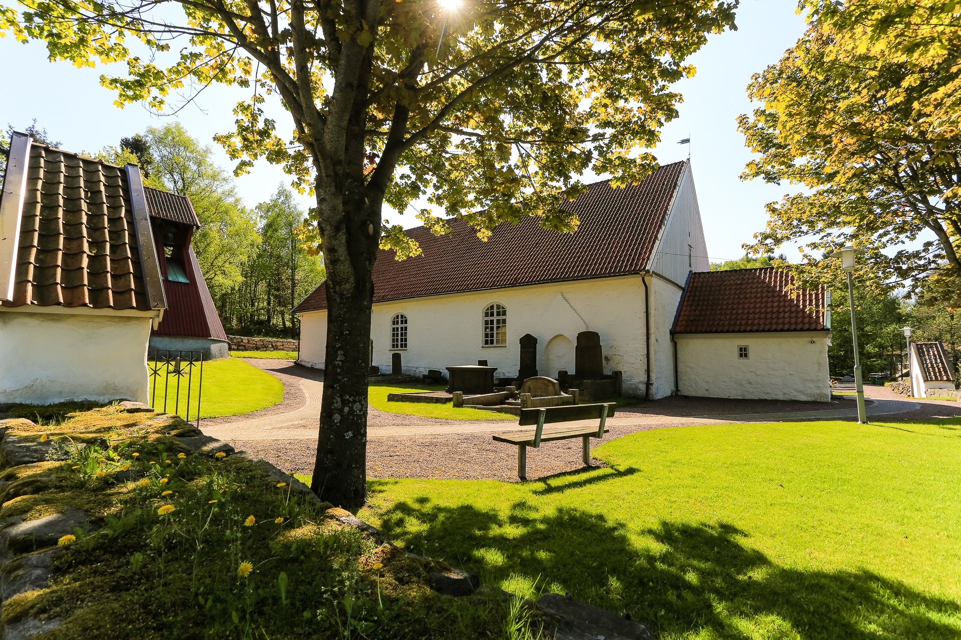
Moving from Etap 09's wilderness to a much more rural space, you'll frequently see evidence of the long history of people living and working on the land. Three wind shelters can be found on this trail, Vindskydd Tvängen, Vindskydd Holmevatten and the one we stayed at detailed below.
Running through Svartedalen, the Black Valley, this is a challenging section of the hike, with a lot of climbing and descending. There are plenty of lakes, but few moving rivers, so be aware of water needs. There are several good huts on the trail, as well as a lot of places to stop and camp.
A shorter stage of only 13km is marked as a difficult trail and has some areas with ropes to assist climbing; it also has some steep slopes to hike. The final third of the trail, as you reach stage 13, is comfortable
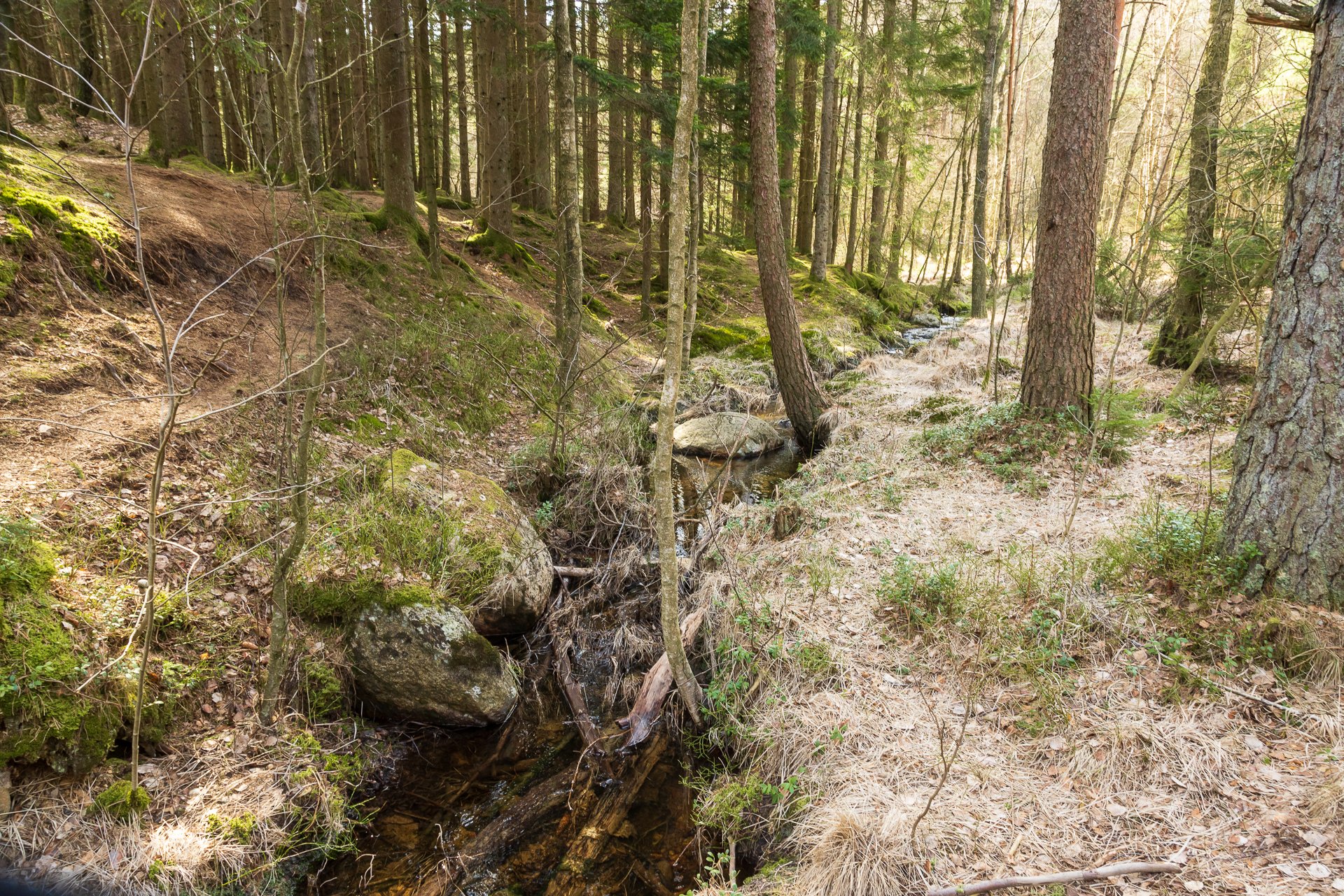
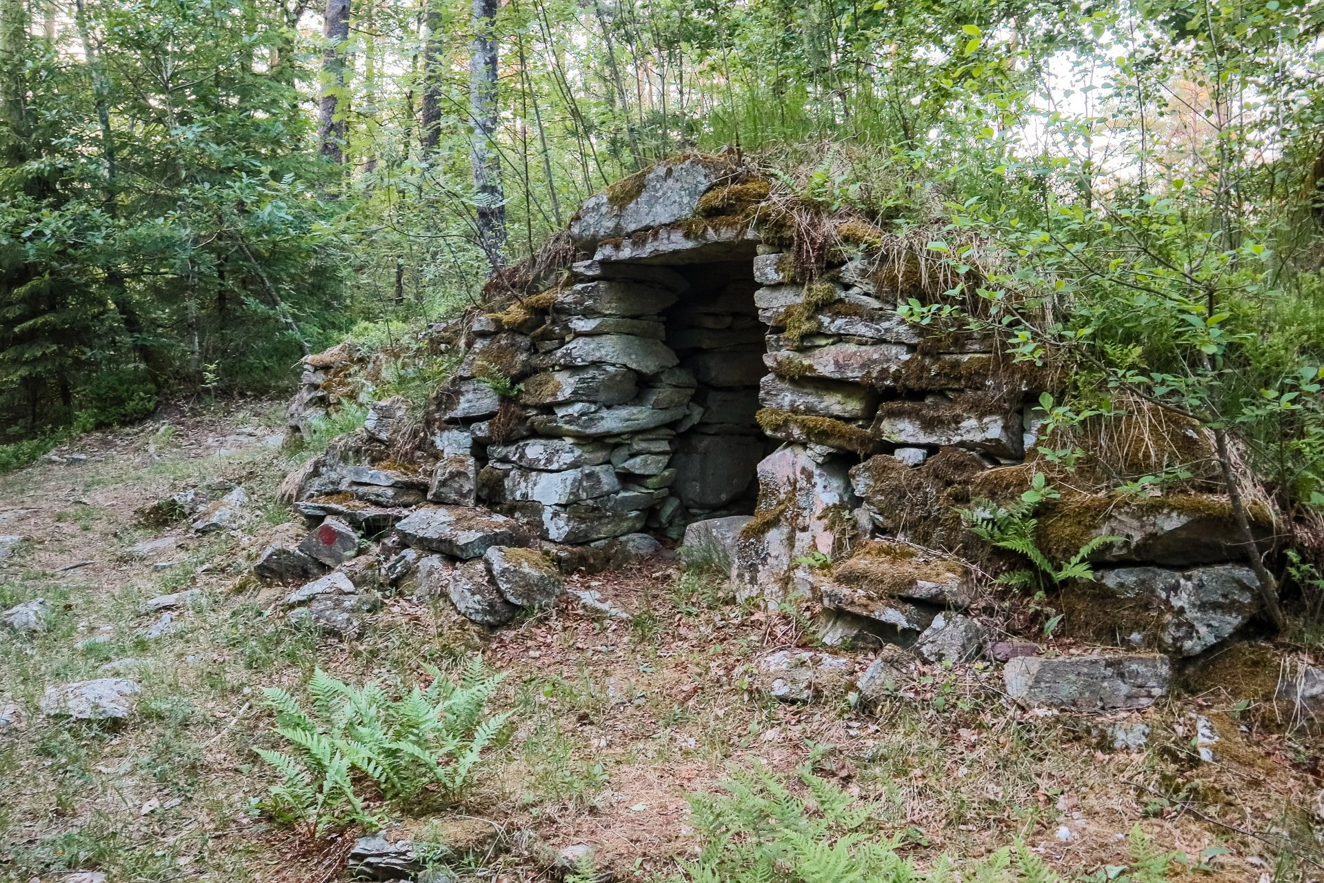
The route goes through the varied and sometimes dramatic countryside through dense spruce woodland, steep cliff-edges, past lakes, and an old rural landscape.
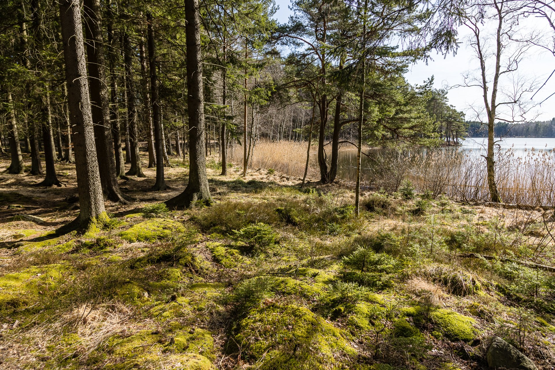
This section of Bohusleden is only 8 kilometres long and is of moderate difficultly. Lots of dirt trails and gravel tracks make the eight kilometres fly by. Several lovely lakes dot the hike's distance.
The trail is marked as difficult and goes through some heavily wooded areas with some steep climbs. In total, it is 12 kilometres.

