Pourquoi Pas Island
Another Antarctic island discovered by Jean-Baptiste Charcot of the French Antarctic Expedition (1908-1910), Pourquoi Pas, was named for Charcot's ship in the 1930s by the British Graham Land Expedition who first charted the island.
Experience
We took zodiacs across to the island, and there was a lot of sea ice that morning, so much of it that it was difficult for our pilots to land. We followed in each other wakes as much as possible, and the expedition staff on land had waded out quite a distance to pull us in. The ice and waves lead to one person falling and getting water in their boots.
A strange landscape, Pourquoi Pas Island has a rocky stone beach, before a long thin band of thick mud and clap and then taller rocks and ice. The glacier at the island's heart creates the hills by pushing outwards, driving stone and dirt ahead of it and slowly into the ocean and perhaps extending the shoreline, possibly creating a sheer cliff edge.
The main draw for us was the Adélie Penguins. There were two main colonies on the island—one near the base of the islands hill and one by the water edge close to the ice.
The penguins playing by the water's edge had started climbing the sea ice that had come ashore and was slowly moving into the water, and this would have been the chick's first experience with water that we were seeing.
Once we climbed the hill to see the view, we discovered a third group of Adélie, behind the rocks, staying close to a pack of Crabeater Seals.
Front and centre, almost directly in front of our landing area, a small number of seals slept sunning themselves in the morning light and mainly ignoring us. One was alone, a short distance away and closer to the boats and the water. He was more agitated and kept a close eye on us as we moved around the island. Once the visitors learned to keep their distance, he was comfortable enough to go back to sleep.
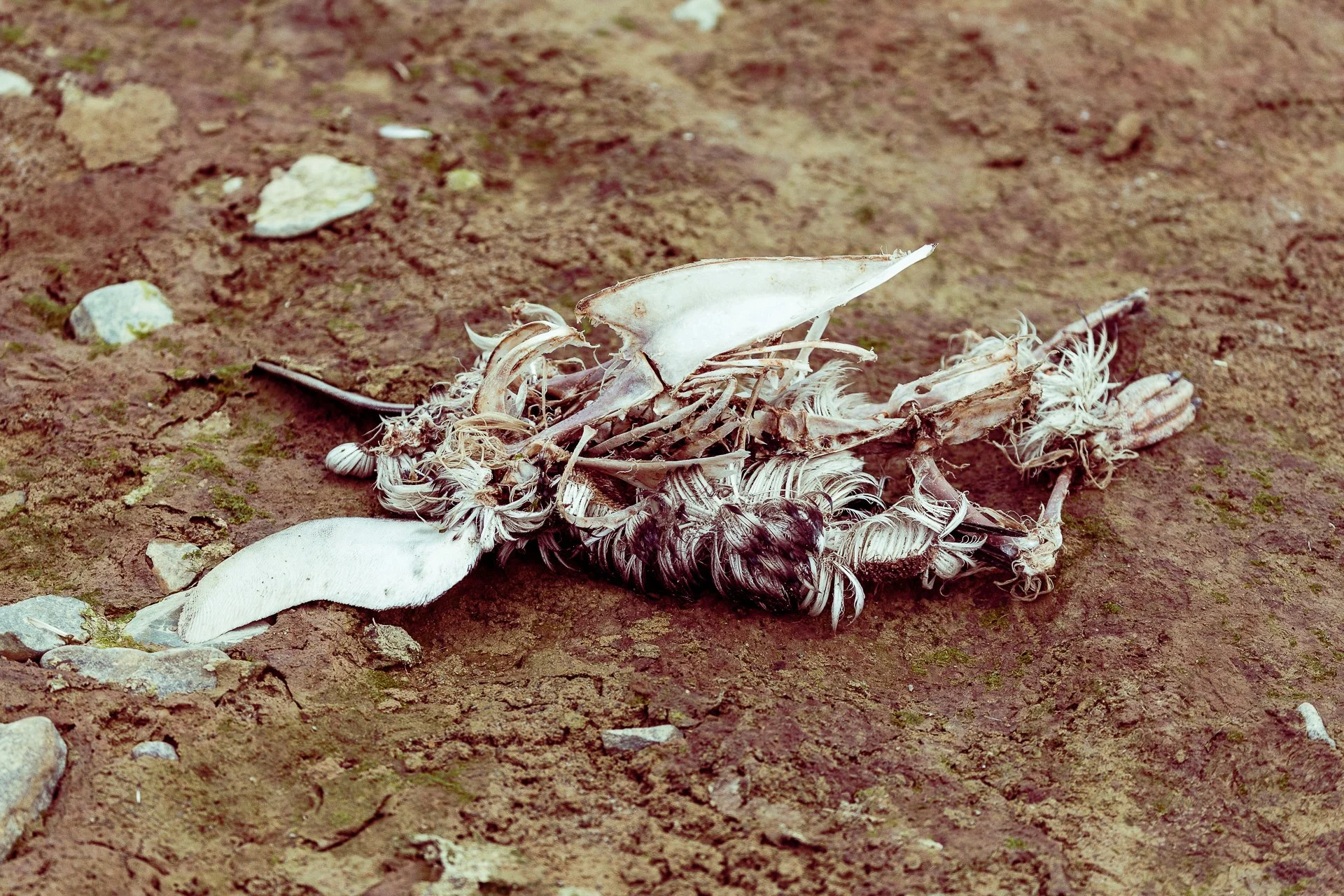
Stark white against the brown clay, the corpse of a penguin, was easily seen. Likely the victim of a Leopard Seal given nothing but bones remain.
The hill, in particular, was home to several birds. Primarily Gulls with several Skuas flying attracted no doubt by the penguin chicks. At the summit of the hill, there was a single Brown Skua nesting. When one visitor got a little close, I caught it, wings outstretched, calling out a warning.
The hill was a reasonably easy climb, though Erik the Mountaineer was available to help anyone who needed it, finding, as he always does, the highest point of any landing to claim as his own.
At one midpoint on the climb, with a small sheltered flat point, we noticed a vast number of shells on the ground from the Kelp Gulls who scoop the sea creatures up and fly them to the land to break them open by dropping them on the rocks and feast. This spot was the Gull's dining room.
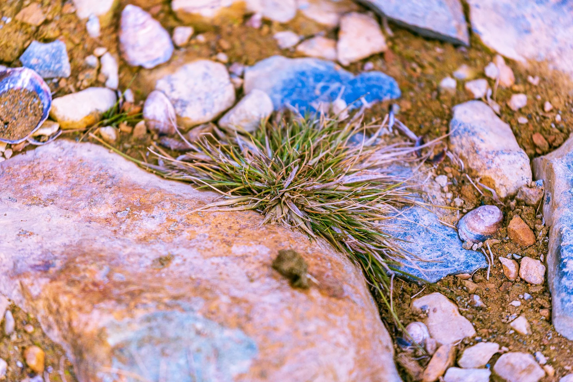
As a regular spot for birds to fly to and land at, tiny patches of grass had grown. The Expedition Crew had not seen this before so far south. Antarctic grass is scarce.
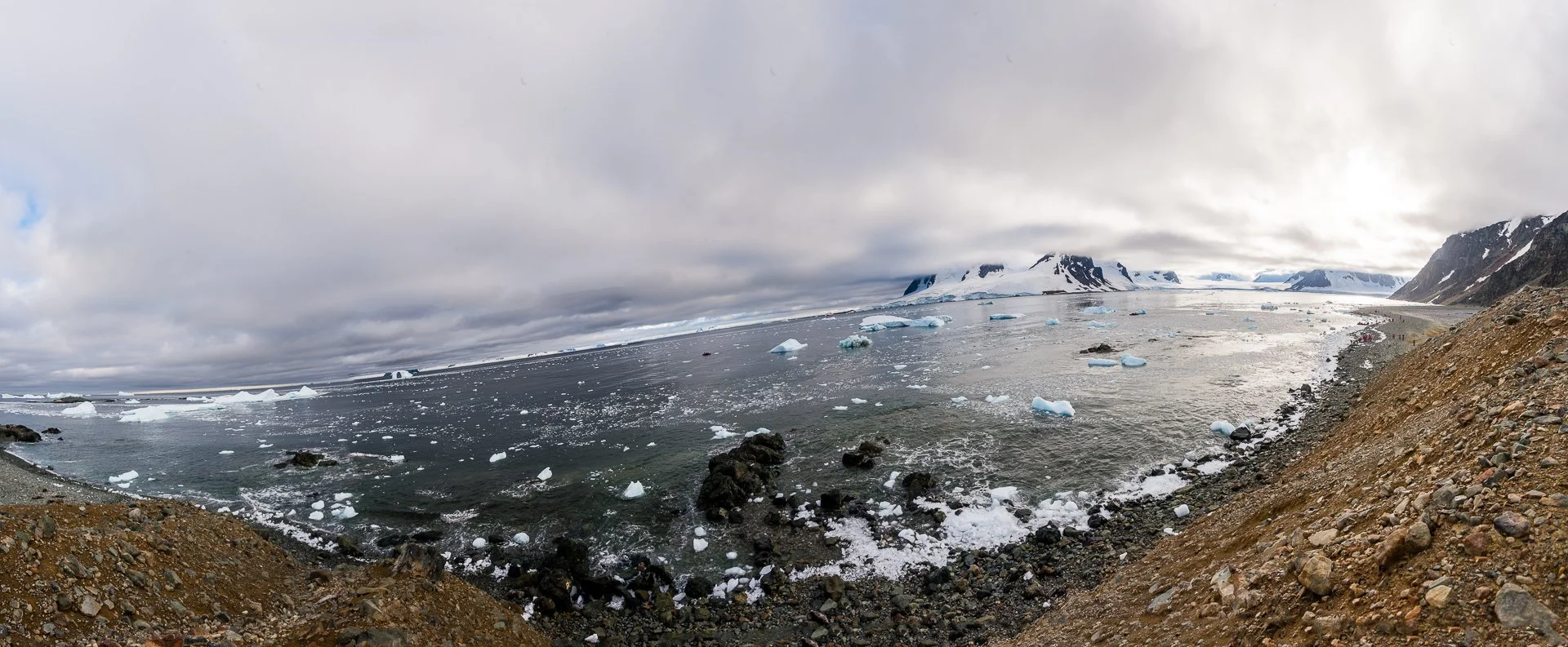
The hill offered a panorama over the water, with some incredible scenery. Below us were sharp rocks with bright snow and ice, the clouds were slowly clearing, icebergs out in the water including one stunning archway and tons of upon tonnes of sea ice washed into the beach, catching the suns rays like gemstones.
We could see Crabeater Seals playing in the water from the hilltop, including at one brief point a leopard seal popping up.
I took an earlier zodiac back to the ship to take part in a small excursion on the route, which allowed me to get closer to the magnificent iceberg arch. One person from our group, on an earlier zodiac, caught the span partially collapse with another zodiac for scale.
Films show icebergs as giant ice cubes or perhaps floating platforms for polar bears, and so the natural shapes of archways, holes, spires, sharp ice edges and smooth snow seem somehow unreal. As if a series of sculptors were ahead of the boat, tricking gullible tourists into accepting these shapes as somehow natural.
Wildlife
Adelie Penguin
Brown Skua
Crabeater Seals
Gulls
Location
Another Antarctic island discovered by Jean-Baptiste Charcot of the French Antarctic Expedition (1908-1910), Pourquoi Pas, was named for Charcot's ship in the 1930s by the British Graham Land Expedition who first charted the island.
66° 33' 70 S 67° 45' 73 W


